Olwg x MapStand – A new collaboration delivering unparalleled insights to customers in an ever-changing landscape.
Olwg, a specialist in building web apps supporting businesses with energy transition and making low carbon developments easier to understand have teamed up with MapStand, a specialist global data provider.
Together they will deliver customised applications for energy transition projects and mapping tools based on detailed hydrogen and carbon capture development datasets efficiently and cost effectively.
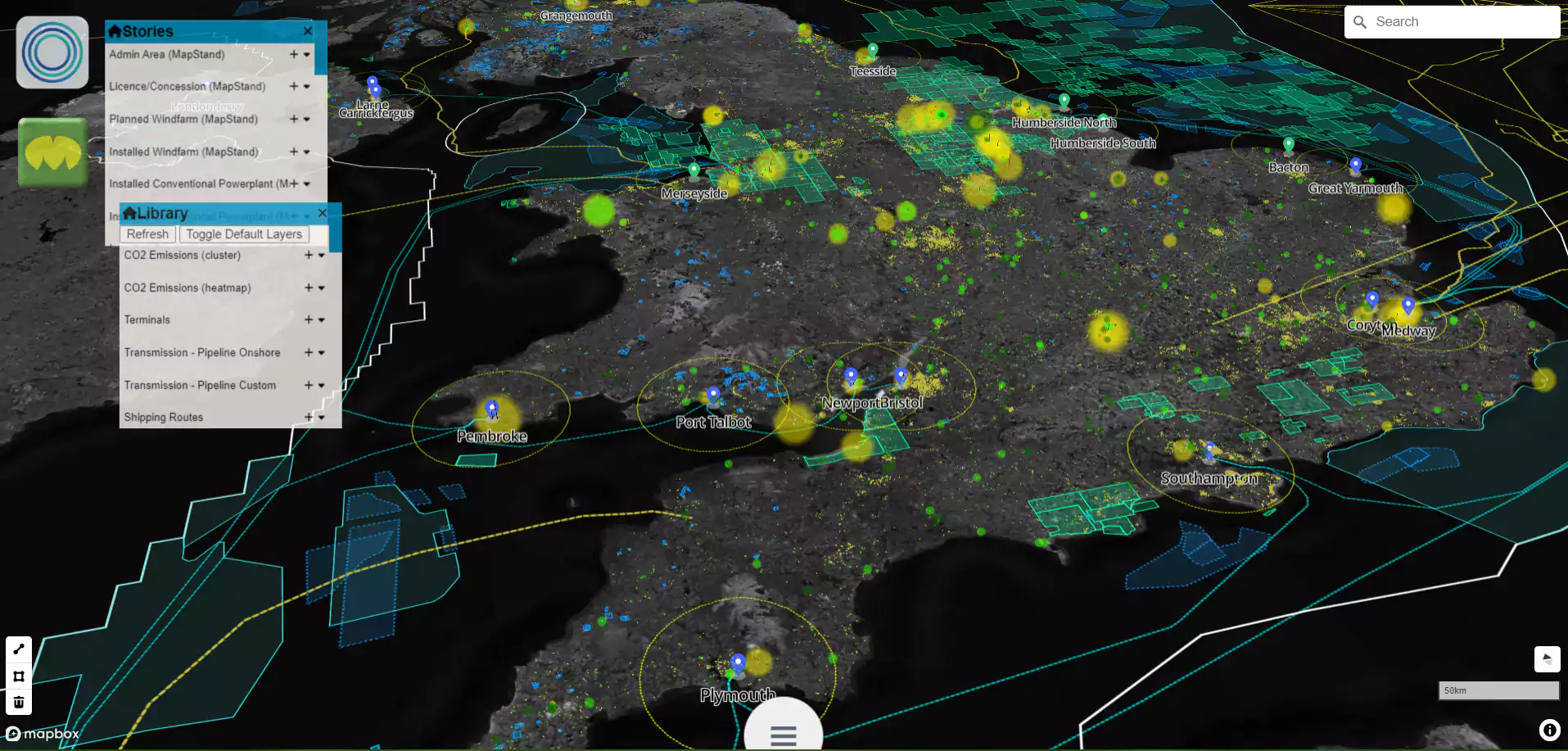
The Benefits of Working With Olwg & MapStand
MapStand has the data, Olwg the analytics and application development capability. Combining the skillsets of the two companies allows for better understanding of energy transition and the efficient delivery of projects.
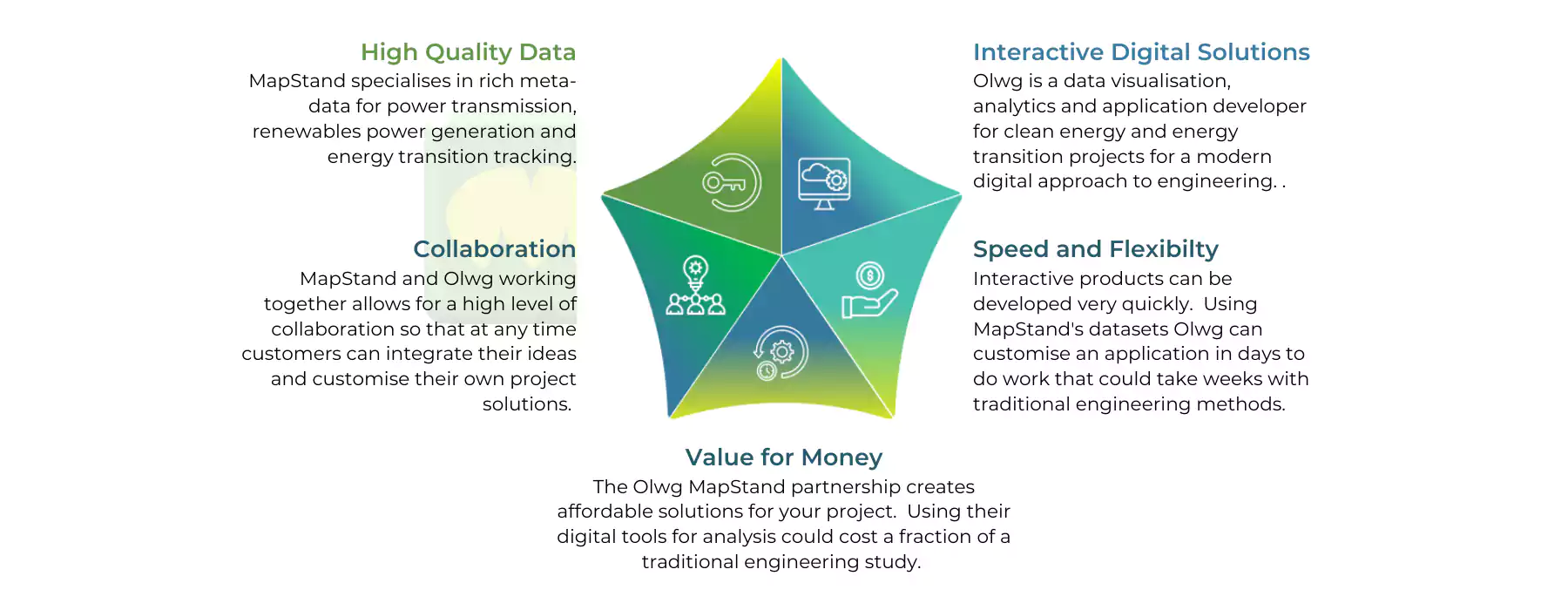
What does the Collaboration Deliver?
Mapping
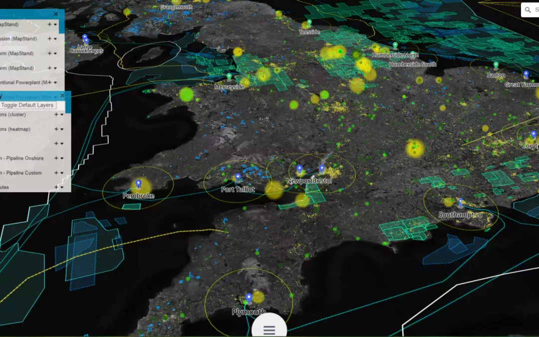
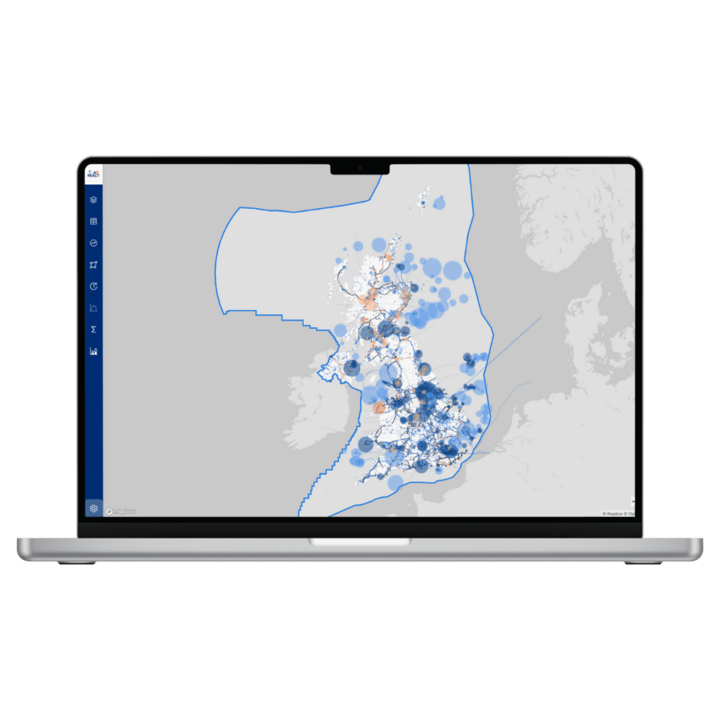
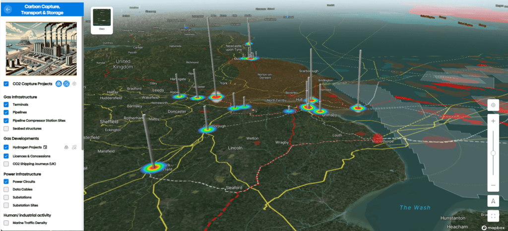
High speed development of interactive integrated energy maps enabled by existing templates and integrating a mix of datasets with the following features:
- Aerial imagery
- Custom filters & sliders
- Supply & transmission infrastructure
- Measuring tools
- 3D topography, route elevation & slopes
- Heat maps & clustering for supply & demand
- Call outs for site or shape attributes
- Possible mapping of supply chain capabilities

Analytics
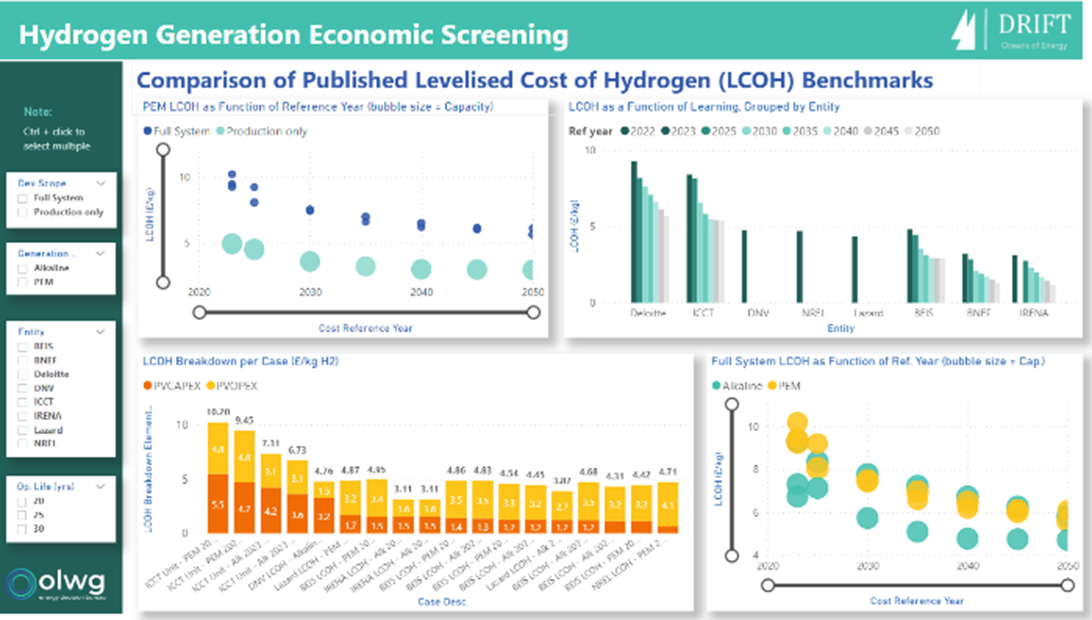
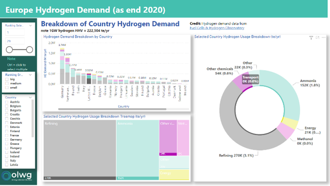
Power BI analytics dashboards based on same datasets as the maps can be offered with the following features:
- Filterable summary charts & metrics
- Relationships between variables
- Waterfall & creaming curves
- Project maturation pipeline
- Sankey diagrams showing source to sink
Email tony@olwg.co.uk if you are interested in working with us or to find out more about the Olwg MapStand collaboration.
20-07-22 Olwg Mapstand.pdf
Download PDF • 2.01MB

