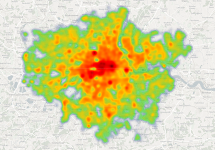
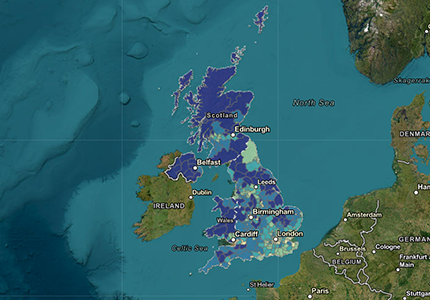
London Heat Map
Tool designed to help identify areas of high heat demand in London
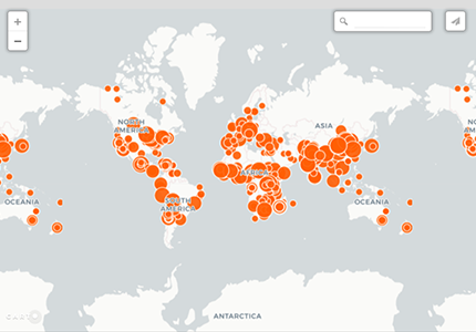
Solar Cooker Map
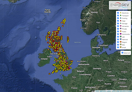
EnergyREV Community Energy
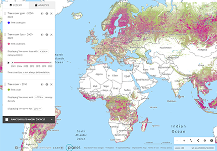
Global Forest Watch
online platform that provides data and tools for monitoring forests; allows anyone to access near real-time information about where + how forests are changing around the world
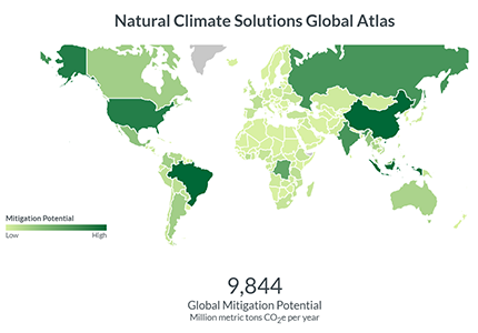
Natural Climate Solutions World Atlas
Demonstrates opportunities for countries around the world to view how natural climate solutions (NCS) alongside emission reduction strategies, can help them reduce their net greenhouse gas emissions.
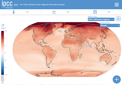
IPCC WGI Interactive Atlas
A novel tool for flexible spatial and temporal analyses of much of the observed and projected climate change information
Tidal current Map
Online tidal current map from Norwegian Meteorological Institute & Broadcasting Corp
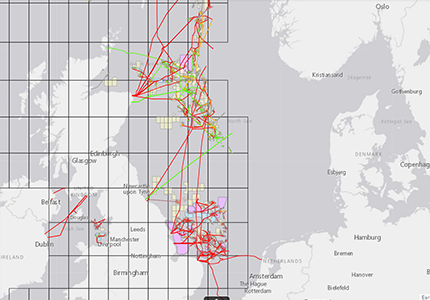
Europe Offshore Wind Map
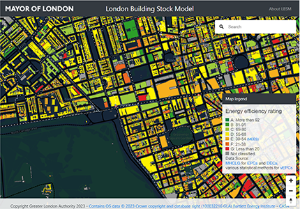
London Building Stock Model
London Building Stock Model which has data on every domestic and non-domestic building in the capital.
Global coal power
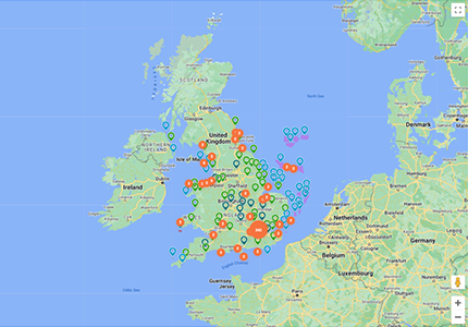
Crown Estate Open Data
The site provides access to all the data that The Crown Estate publishes along with some of the web applications that are used to make this information available to the public
Mapstand Platform
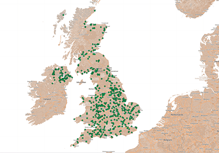
UK Onshore Interactive Map
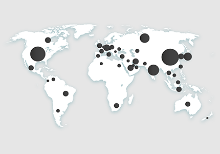
Global Carbon Atlas
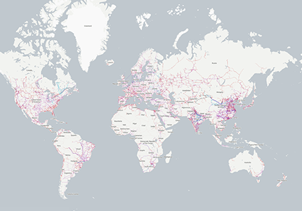
Open InfraMap
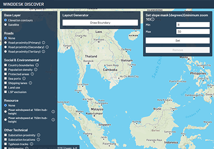
WindDesk Discover
UK Offshore Interactive Map
Crown Estate Asset Map
Explore Crown Estate assets across the UK using their interactive maps
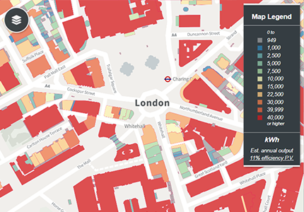
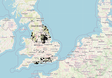
London Solar Opportunity Map
Online solar mapping tool to estimate potential for both photovoltaic solar panels and solar thermal installations on buildings + open land around the capital.
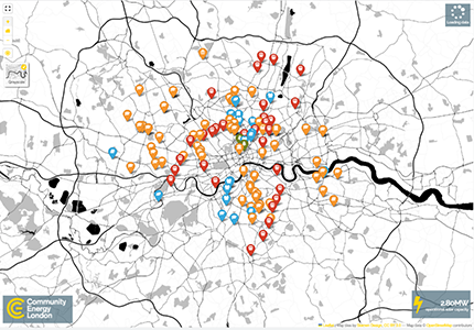
London Community Energy
Biogas Map
Local Authority CO2 Interactive Map
Shows CO2 totals by local authority from the UK National Atmospheric Emissions Inventory for 2018
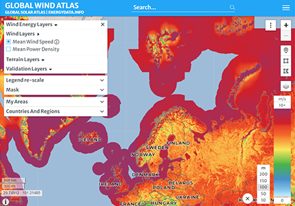
Global Wind Atlas
CAccess and compare wind resource potential between areas in a region or across countries
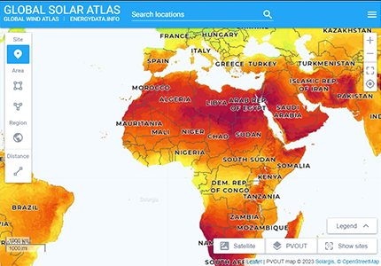
Global Solar Atlas
Provides quick and easy access to global solar resource and photovoltaic power potential
Analyse. Visualise. Decide.
Contact us for a demo of our applications or for more details how we can help with your clean energy or decarbonisation projects.